Autonomous Aerial Systems: The Intelligence of Flight
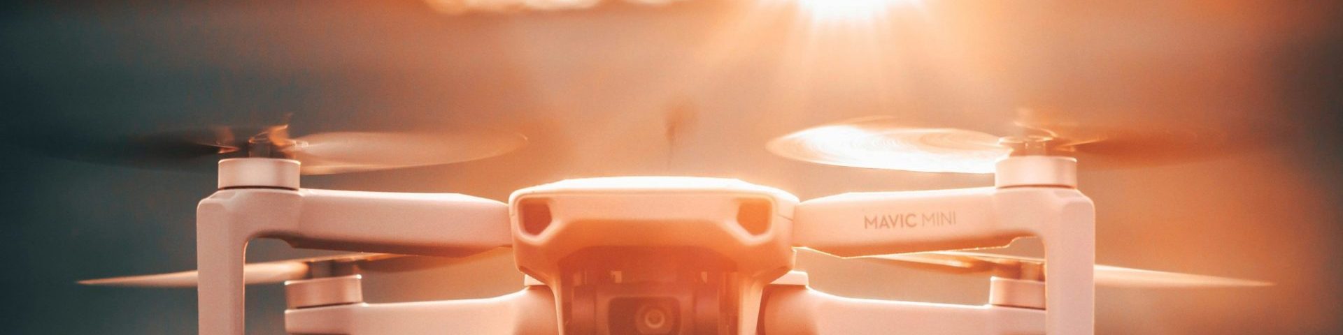
At OptimumT, we aren’t just flying drones; we are deploying autonomous agents into the sky. By integrating our Agentic AI framework with high-performance aerial platforms, we enable missions that were previously impossible due to signal latency, environmental complexity, or human error.
From Remote Control to Edge Autonomy
Traditional UAVs rely on a “Man-in-the-loop” or pre-programmed GPS waypoints. Our systems utilize Edge-Reasoning to navigate environments where GPS is denied and communication is severed.
Core Capabilities
-
Beyond Visual Line of Sight (BVLOS): Our agents are designed to execute complex mission objectives—such as infrastructure inspection or search and rescue—without requiring a constant tether to a human pilot.
-
GPS-Denied Navigation: Using Visual Inertial Odometry (VIO) and LiDAR-SLAM, our UAVs perceive and map their surroundings in real-time, allowing for precision flight inside tunnels, under bridges, and in dense industrial corridors.
-
Dynamic Mission Re-Planning: If an environmental hazard is detected, the agent doesn’t stop; it re-decomposes its objective and calculates a safe, alternative path to completion.
The OptimumT Swarm Architecture
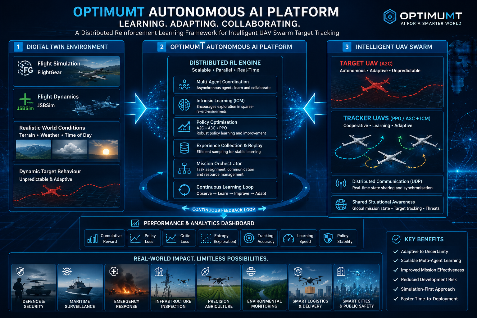
We specialize in Collective Agency. Rather than controlling drones individually, we deploy a unified “Swarm Brain.”
| Feature | Single Agent | OptimumT Swarm |
| Reliability | Single point of failure | Decentralized; mission continues if a unit drops |
| Data Acquisition | Linear and sequential | Parallelized; mapping 10x faster |
| Decision Making | Local Perception | Distributed Intelligence (Mesh Networking) |
Industrial & Research Applications
1. Infrastructure & Energy
Autonomous “Perch and Stare” inspections of wind turbines, high-tension power lines, and cooling towers. Our UAVs identify structural anomalies at the millimeter level without human intervention.
2. Environmental Monitoring
Deploying swarms to track wildfire progression, map coastal erosion, or monitor agricultural health through multi-spectral imaging and autonomous data synthesis.
3. Tactical & Search Operations
Rapid deployment of autonomous meshes in disaster zones. Our UAVs can autonomously enter collapsed structures to map interiors and locate survivors, transmitting a 3D “World Model” back to base.